
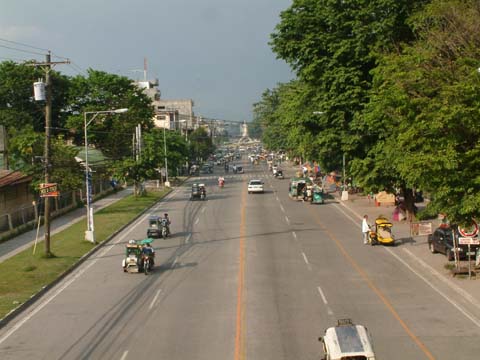
 Koronadal Highway 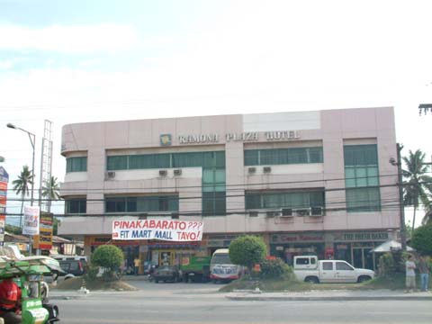 Ramona Plaza Hotel 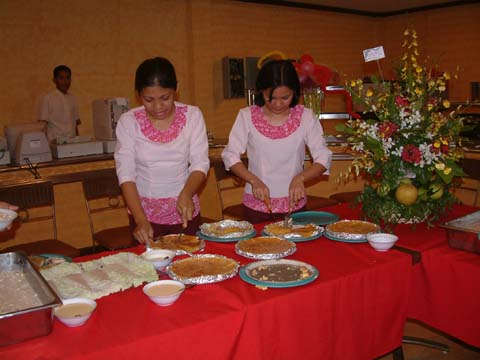 Koronadal Restaurant 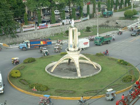 Koronadal Round Ball 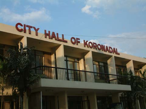 Koronadal City Hall 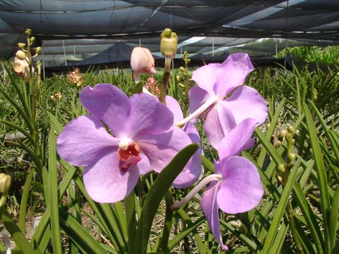 Local Orchids 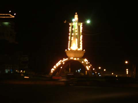 Round Ball at Night | KORONADAL CITY Mindanao's Treasure Geography Koronadal is situated in the northeastern part of the province of South Cotabato lying between 6 degrees 24 minutes to 6 degrees and 34 minutes north and longitude 124 degrees and 47 minutes to 124 degrees and 58 minutes east. The city is bounded in the northwest by the municipality of Tantangan, South Cotabato and the municipality of Lutayan, Sultan Kudarat in the northeast; on the southwest, by the municipality of Banga and on the southeast, by the municipality of Tupi and Tampakan, South Cotabato. Koronadal is a fertile valley bounded by the Roxas Mountain Range on the southwest and Quezon Mountain Range on the northeast. Roxas Mountain Range extends from as far as Barangay Saravia on the southeast to Barangay Morales on the north, cutting through the Barangays of Carpenter Hill, San Isidro, Sta. Cruz, Mambucal, and the Poblacion. Quezon Mountain Range, on the other side, extends along the Barangays of San Jose, Mabini, Esperanza, Cacub and Zulueta. History of Koronadal Koronadal was converted into a component city of South Cotabato now known as the City of Koronadal by virtue of Republic Act 8803 on October 8, 2000. At present, Koronadal is a fast developing growth center composed of twenty seven (27) barangays including the four (4) zones in the poblacion. Being the capital town of South Cotabato, it is the center of the province in terms of political, cultural and socio-economic activities. Business firms and other establishments sprout in Koronadal. Identified also as the Provincial Agri-industrial Center of South Cotabato. Koronadal boasts of its favorable geographical location, rich human and natural resources, and potentials conducive for trade business and industry. The settlement of Koronadal and its creation as a municipality by virtue of Executive Order No. 82 dated August 18, 1947 was marked by a rapid initial development, so that when the province of South Cotabato was created under Republic Act No. 4849 on July 18, 1966, it easily became the capital town. In the past, the place was populated by B'laans and Maguindanaos. The word Koronadal is believed to have been derived from two Maguindanaoan words- koron or kolon meaning cogon grass and nadal or datal meaning plain which optly described the place to the natives. On the other hand, Marbel, which is another name for the poblacion, is a B'laan term "Marb-El" which means "murky waters" (it is possible that name was first used to) referring to a river, now called Marbel River. Koronadal used to comprise the area extending from the banks of Buluan Lake to the north to Barangay Polonoling in the municipality of Tupi to the south from Quezon mountain range to the northeast to the municipality of T'Boli to the southeast. It was in August 18, 1947 when President Manuel Roxas signed the Executive Order creating the municipalities in the entire province of South Cotabato, one of which was Koronadal. The same executive order likewise mandated the official function of the municipal government which began after the qualification and election of the first set of municipal officials. Elected were Datu Kudanding Kamsa, Municipal Mayor, Perfecto Sueno Sr., Vice Mayor; Councilors: Porferio Cuenca, Felix Suscano, Alejandro Poticar, Gregorio Hechanova, Zacarias Cadule, and Dencio Sarate. The first Municipal Judge was Braulio Hurtado and the first Health Officer was Dr. Felimon de Jesus, Cornelio Mariveles became the Chief of Police and Godofredo Gazo, the Municipal Secretary. The municipal government of Koronadal began its official function on January 1, 1948 with an approved Annual Estimated Budget of P30,000.00. The land area of the municipality by then was comparable with the Province of Bata-an embracing the present municipalities of Tampakan, Tupi, Banga, Lake Sebu, Surallah, T'Boli, Sto. Niño, Norala, and Isulan. Municipal Council Resolution No. 32, Series of 1948 mandated and proclaimed January 10 of each year as the Municipal Town Fiesta commemorating the foundation of Marbel Settlement District of the National Land Settlement. Climate Records from PAG-ASA in General Santos City show that the average annual temperature of Koronadal for the past five years is 27.07 degrees centigrade. Warmest temperatures in the city occur during the months of April and October while the coolest in December to January. Temperatures below the annual average are felt in the upland areas of Barangay Assumption, Paraiso and Sta, Cruz. The average relative humidity of Koronadal varies. As of 1976, it was registered at 28.36 degrees centigrade. Rainfall distribution in the city is more or less even throughout the year. Because of the mountain ranges, tropical depressions rarely affect the city. Credits Informations from http://www.koronadal.gov.ph/ |
Source: Lakbaypilipinas.com
No comments:
Post a Comment